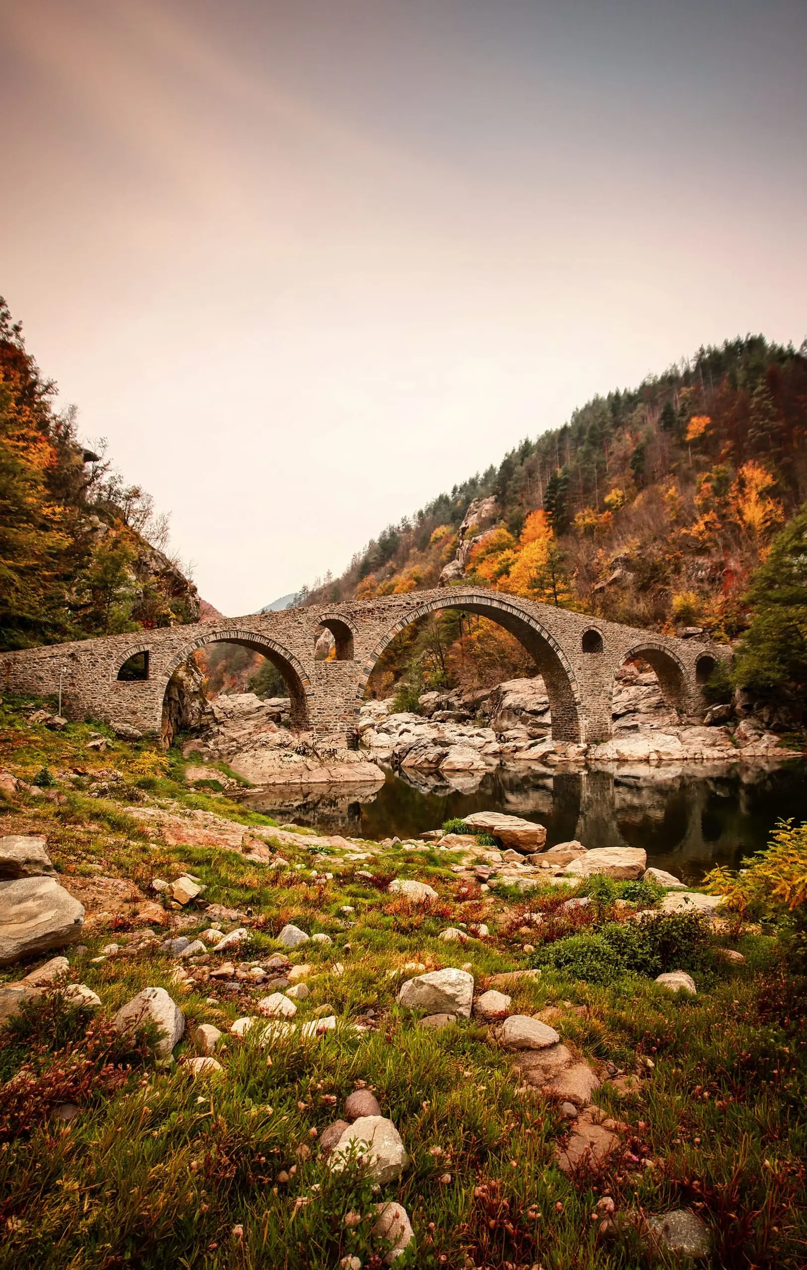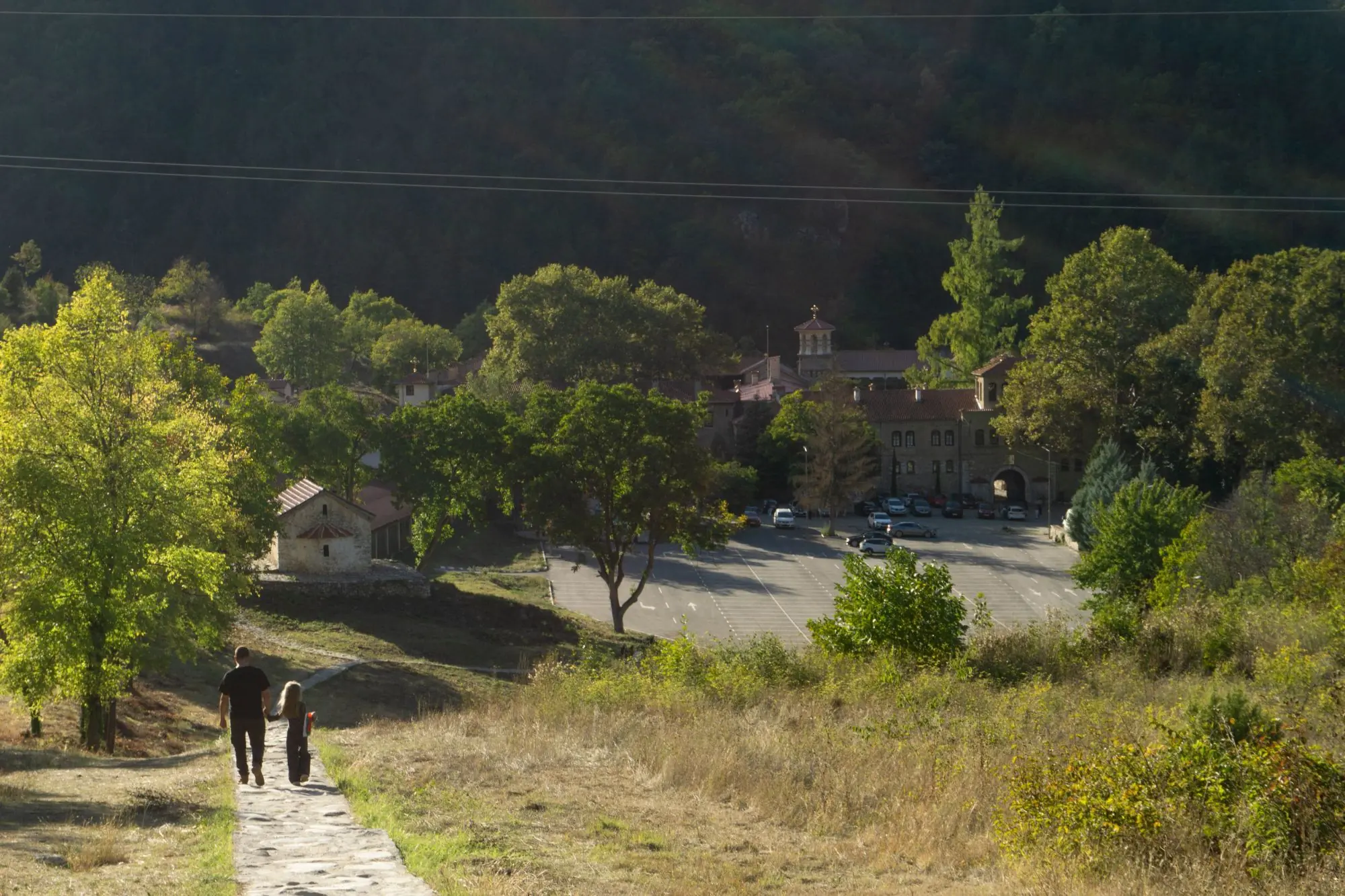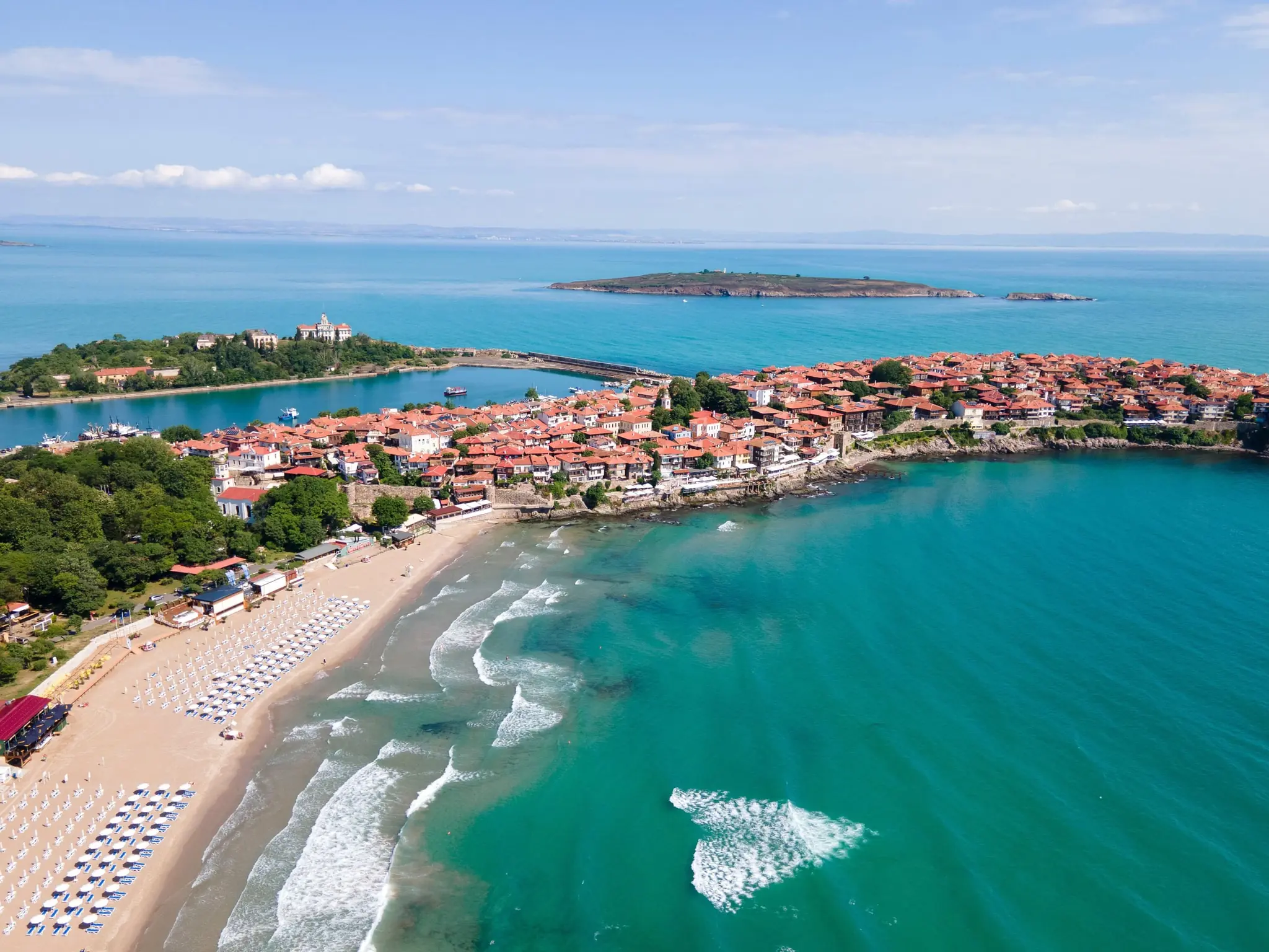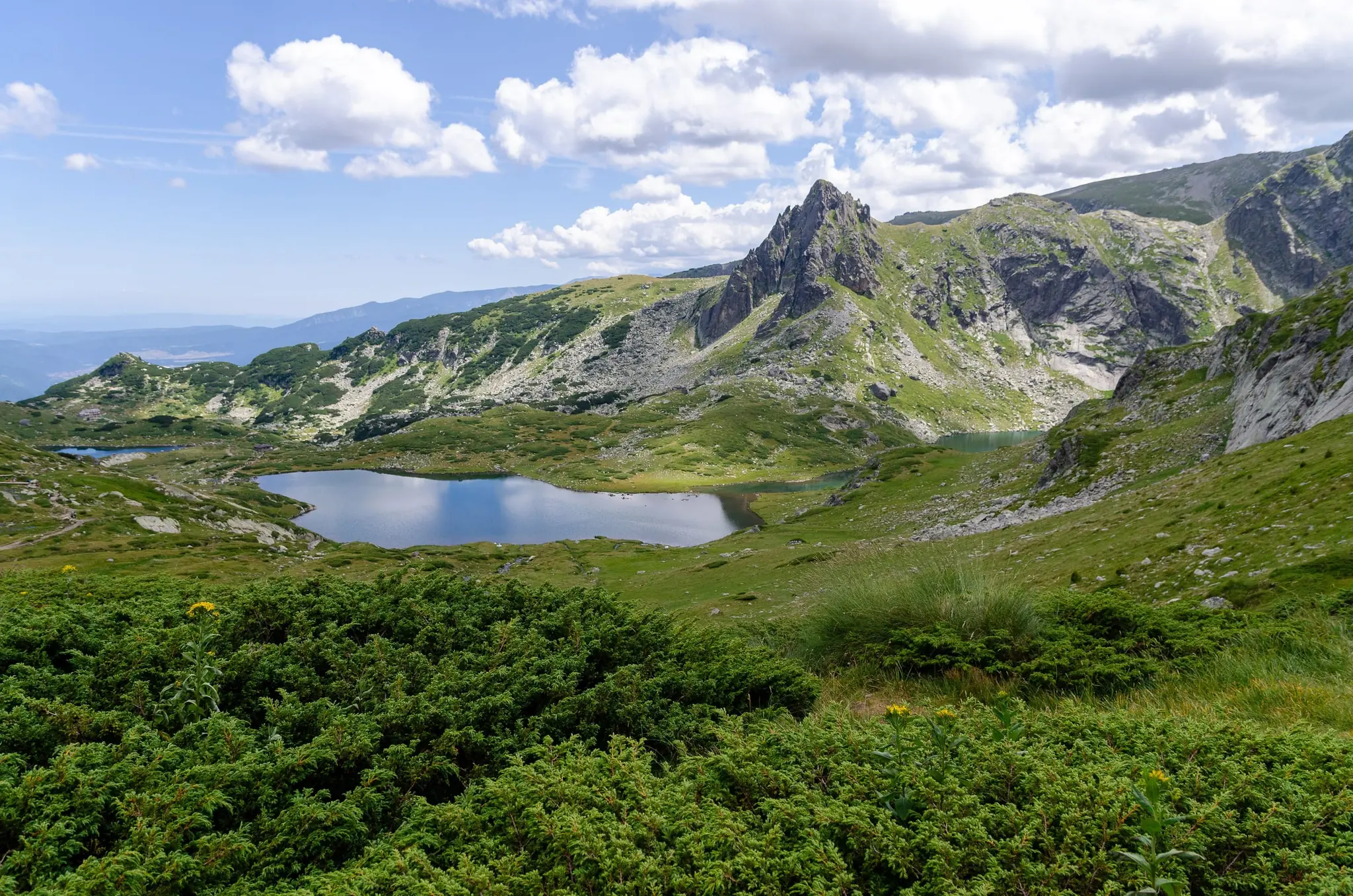
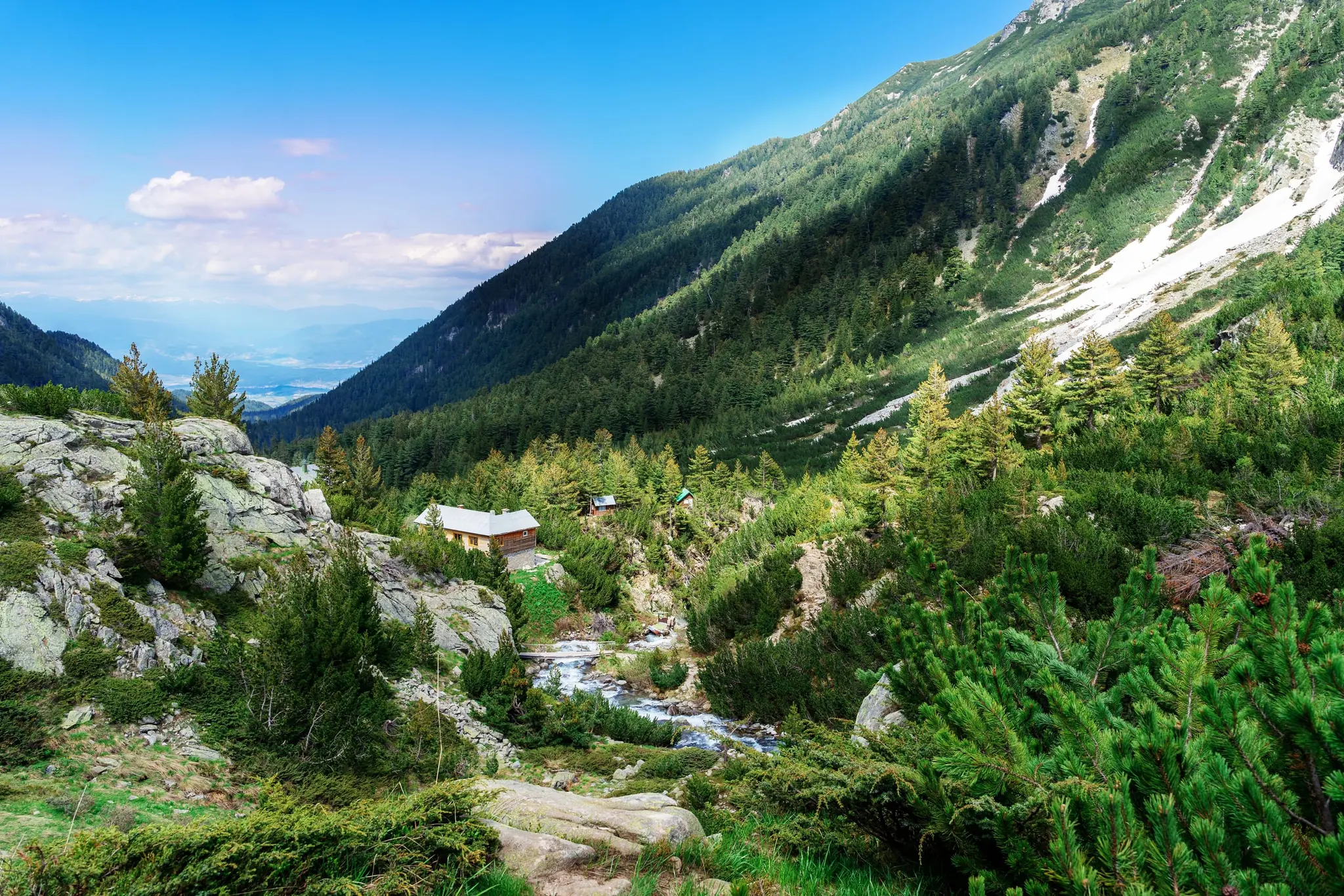
Set out at first light, while the pines are still wet with dew. Climb through dwarf pine and loose granite to a ridge where the whole range lies folded out below you. By late afternoon, be sitting outside a mountain hut with a bowl of bean soup and a view of a glacial lake going copper in the evening light. That is a day in the Bulgarian mountains, and it costs a fraction of what the same day would in the Alps. Bulgaria is not the Alps, and this guide will not pretend it is. The mountains here are smaller, wilder and more simply organised: trails are less polished, signposts less consistent and huts more basic. In return you get 2,900-metre summits, quiet trails outside peak weeks and a village or a mehana waiting at the bottom.
This guide covers the two ranges that matter most to walkers, Pirin and Rila. Pirin is the jagged, pale, UNESCO-listed one, with Vihren (2,914 m) and Bansko at its foot. Rila is the broader, granite one, with Musala (2,925 m), the highest peak in the Balkans, and the glacial Seven Rila Lakes. We compare the two and explain how snow and weather shape the season. We cover huts, maps, park rules and safety, and show how to reach the trailheads. We also tie the walking to the places it passes: a hermit’s cave, a revolutionary’s hometown, a village of sandstone pyramids. It is written for moderately fit walkers happy with hut-based days, not for climbers.
Entry rules, money, SIM cards, language and general safety are all in our country guide, Discover Bulgaria: Mountains, Monasteries & the Black Sea, so we have not repeated them here. Bansko under snow, the old town in depth and the ski resorts are in our winter guide.
Good to know: This guide was checked in October 2026. Trail conditions, snow, hut bookings, park rules and fees, lifts and bus schedules change, sometimes daily, so confirm them with the park authorities, the huts and the Mountain Rescue Service before you set out. Even easy routes carry real risk: snow can linger on high trails into early summer, storms build fast, and help can be far away. Walk within your ability and turn back when conditions say so.
Top Highlights
These ten places pair a Pirin and Rila classic with a quieter alternative or a gentler day. Place names are spelled in several ways on local maps and signs, and Banderitsa also appears as Banderishka, so a signpost that differs from this guide is nothing to worry about.
Before you go: opening times, fees and lift details change, so check each one with the official sources.
Pirin: Vihren, Popovo Lake and Bezbog
Vihren Peak
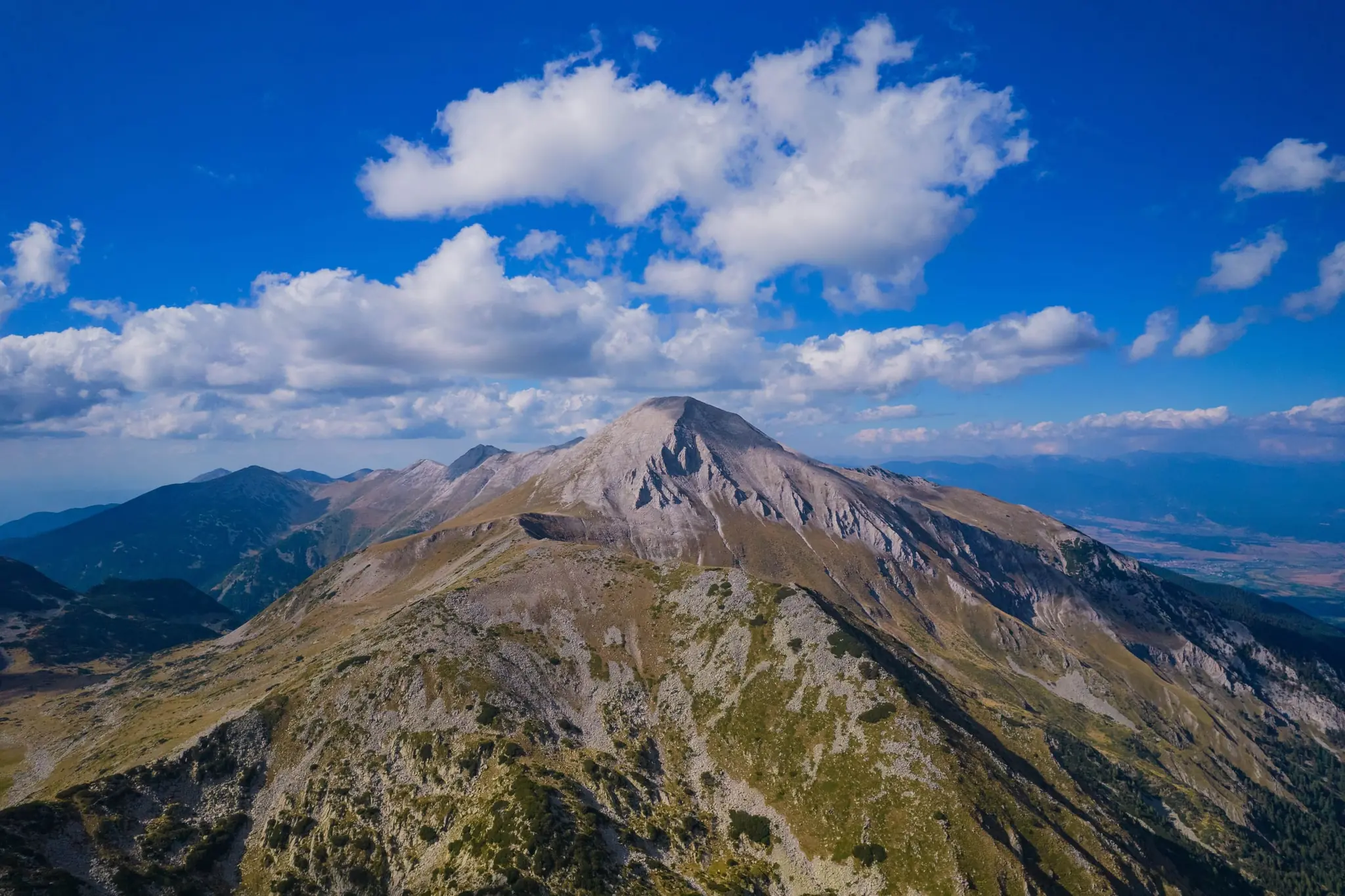
Vihren rises to 2,914 m, the highest peak in Pirin, the second highest in Bulgaria and the third in the Balkans, after Musala and Olympus. Until 1942 it was called Eltepe, "peak of storms", and Slavic tradition placed the thunder god Perun on its summit. Pirin itself is usually said to be named after him, though the origin of the name is debated.
The summit is pale marble, and the classic climb starts at Vihren hut (1,950 m) and gains almost a thousand metres through rock and scree, passing the Kabata saddle. The more daring route crosses Koncheto, a knife-edge ridge at about 2,810 m whose name means "foal": some walkers still cross it astride the ridge like a horse, with a steel cable for support and a drop of 300–400 m on one side. Go in clear summer weather, start early for the afternoon thunderstorms, and expect snow on the upper slopes into early summer.
Popovo Lake and Banderitsa
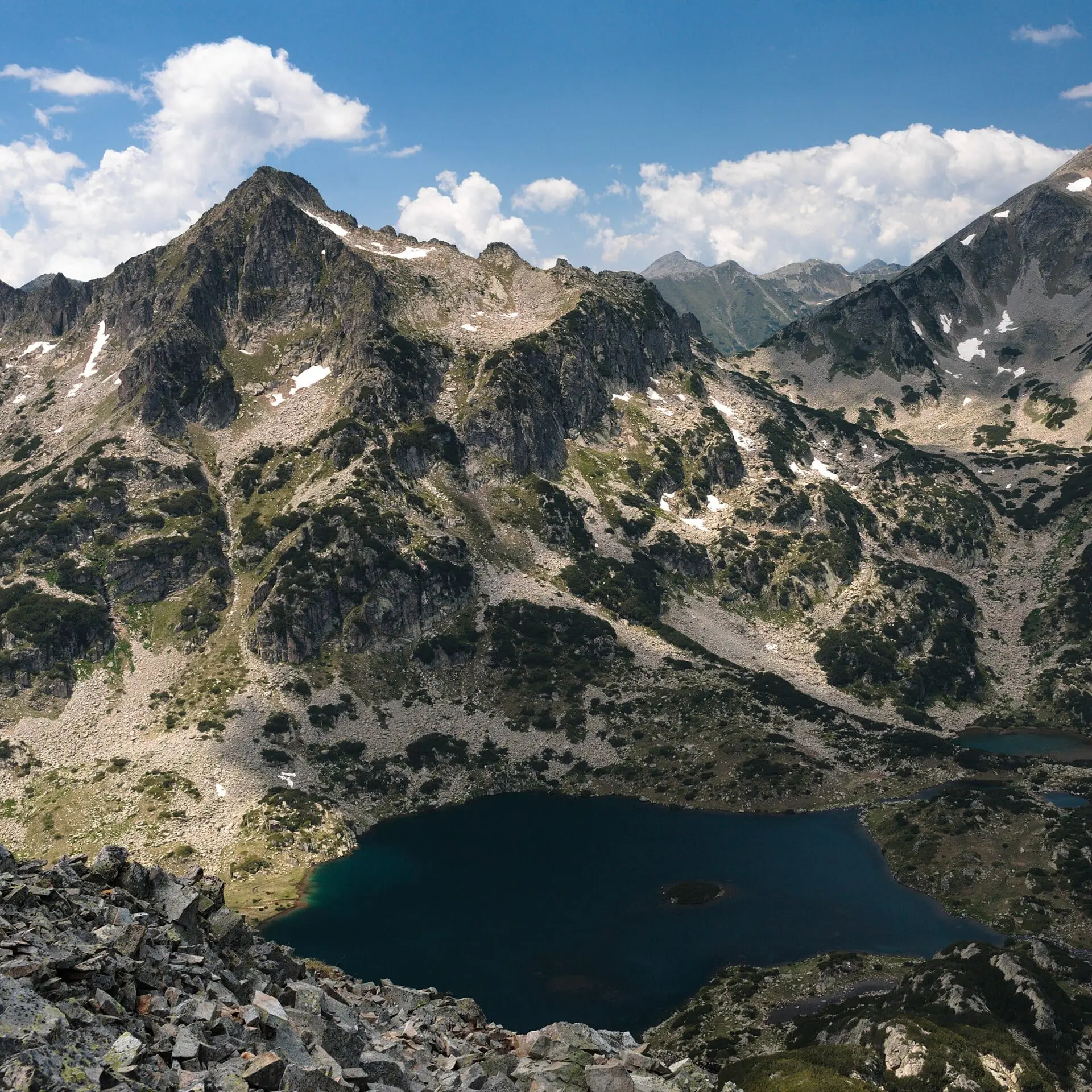
Popovo Lake is a glacial lake at 2,234 m, the largest and deepest in Pirin, about 30 metres deep, at the bottom of a rocky cirque ringed by peaks. Its name means "the priest's lake", and a small islet in the middle has two legends: in one a priest drowned after the Ottomans wronged his daughter, in the other the thunder god Perun threw him in. Either way his cap floated up and became the island.
The walk starts from the Banderitsa hut area above Bansko and climbs steadily, which makes it a good first Pirin day: the setting is dramatic and the lake is a clear turning point. Ice and snow can cover the water into early summer, so ask locally before you go, and pair it with Baikushev's Pine if you have time.
Baikushev’s Pine
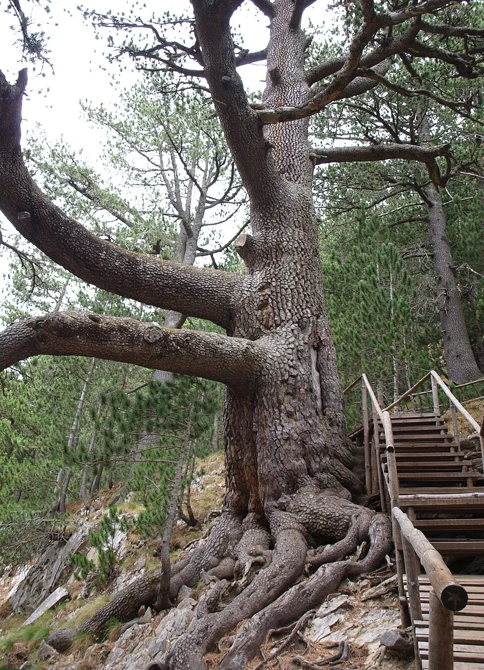
In the forest near Banderitsa stands Baikushev's Pine, a Bosnian pine about 24 metres tall with a trunk more than two metres across. It is estimated to be around 1,300 years old, which would make it a contemporary of Khan Asparukh, who founded Bulgaria, and one of the oldest trees in Europe.
It is named after the forest ranger Kostadin Baikushev, who found it in 1897 on an expedition made, according to one account, at the request of Prince Ferdinand, his friend. His guide was Yonko Vaptsarov, father of the poet Nikola Vaptsarov. Many walkers stop to see it on the way to the higher lakes and ridges. Age estimates vary, so read the park's information boards by the tree. Please stay on the marked path and keep off the roots, because trampling harms old trees.
Bezbog Lakes and Plateau
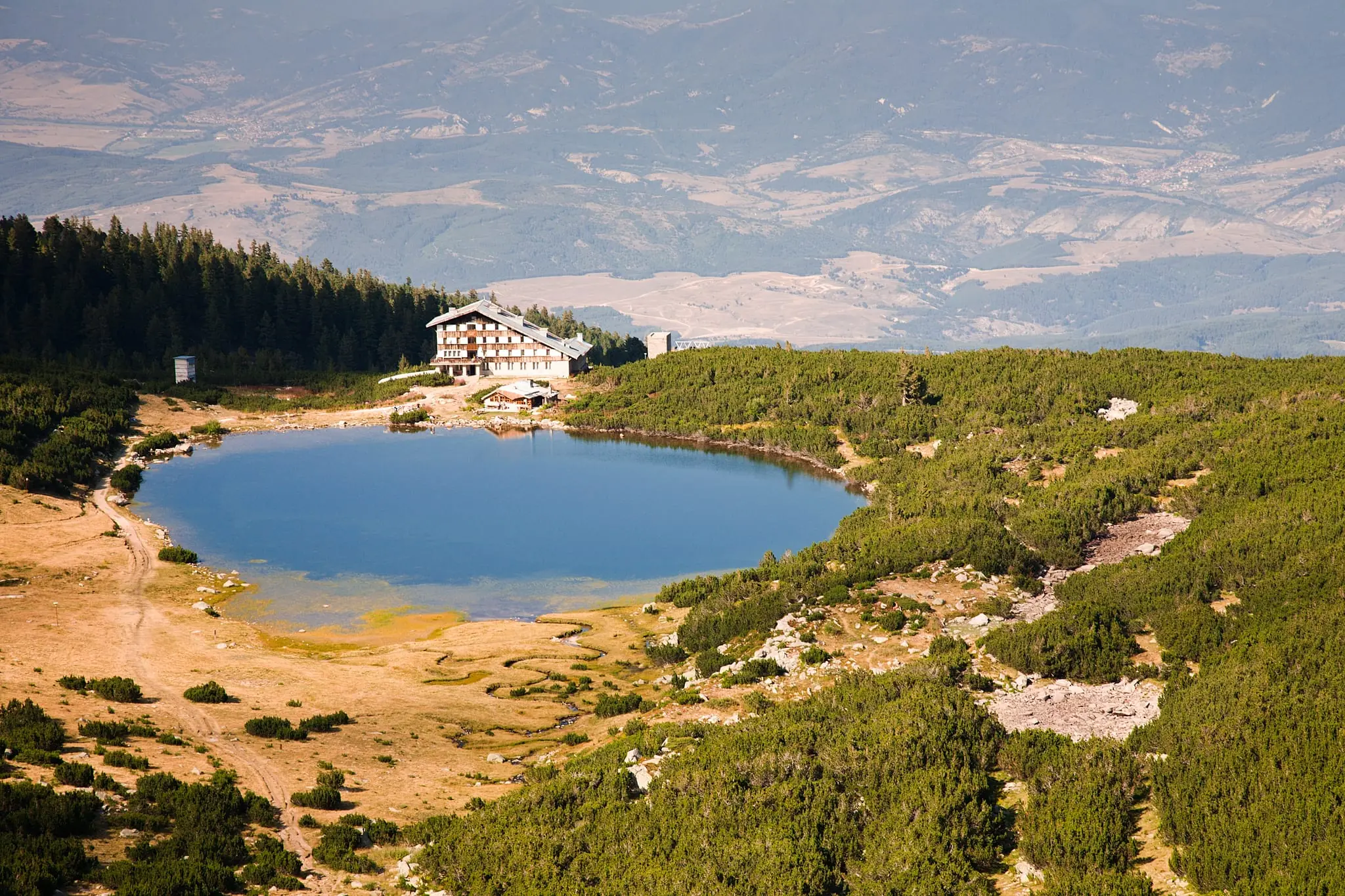
Bezbog, which means "godless", is a high plateau of pines, grass and small lakes in northern Pirin, and the gentlest of the Pirin routes. The Bezbog hut stands on the shore of Bezbog Lake, about 2,240 m up in a cirque beneath Bezbog peak (about 2,645 m). The first hut here was swept away by an avalanche in 1971, and the present one is among the newest and most modern in Pirin.
You can reach the plateau by chairlift from the Gotse Delchev hut above Dobrinishte when it runs in summer, which saves a long climb. From the hut one path leads to the peak and another to Popovo Lake. It is usually quieter than Vihren, but there is little shelter if a storm arrives, so watch the sky and keep a layer in your pack.
Rila: the Seven Lakes, Musala and Malyovitsa
Seven Rila Lakes
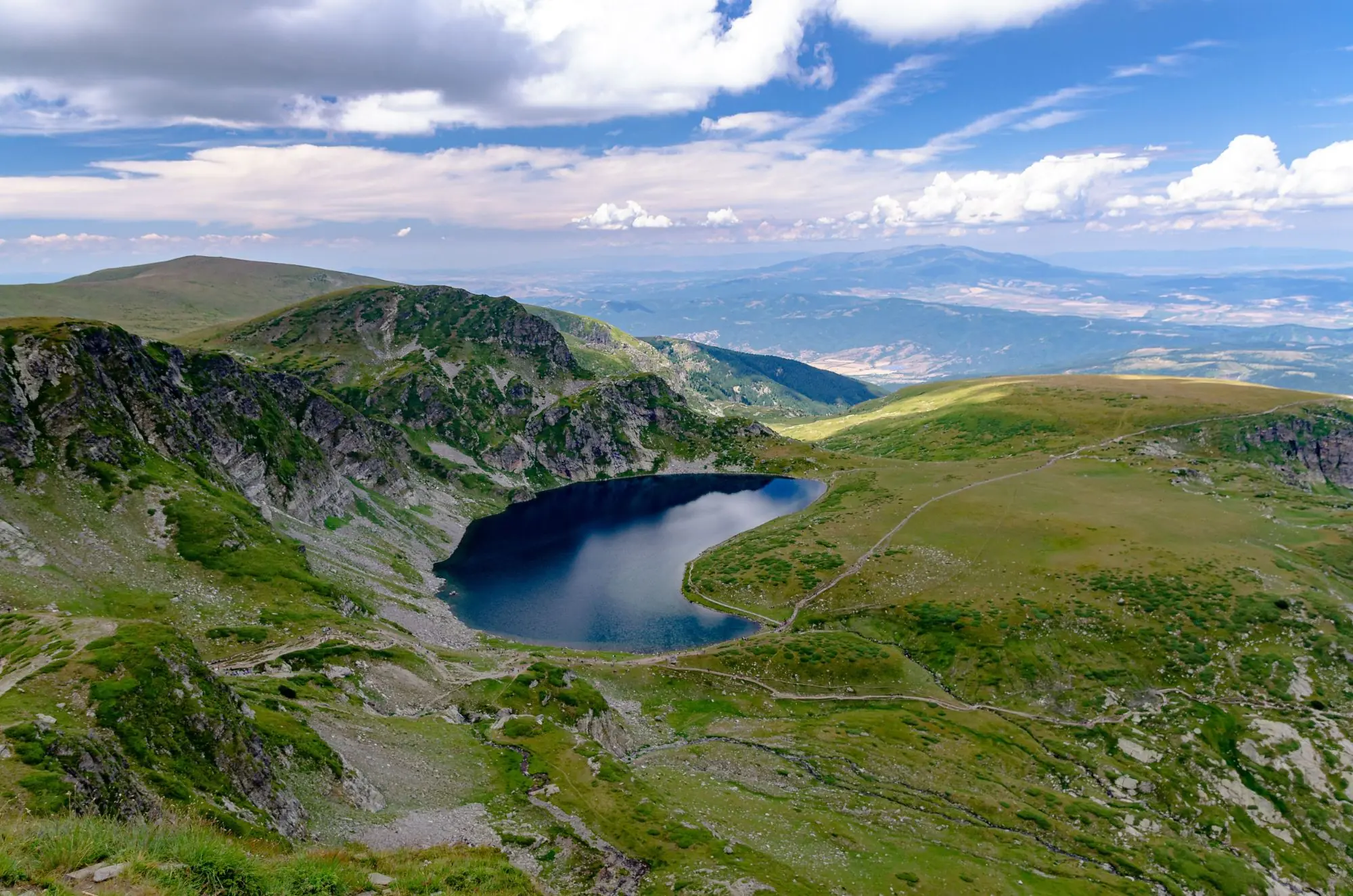
The Seven Rila Lakes are glacial lakes strung one above another between about 2,100 and 2,500 m in north-west Rila, linked by small streams and cascades. Each has a name that fits: the Tear, the highest, for its clear water, the Eye, the deepest cirque lake in Bulgaria at 37.5 m, the Kidney, the Twin, the Trefoil, Fish Lake and the Lower Lake, where the water gathers to form the Dzherman river.
Go in July or August, since the lakes usually freeze from October and stay frozen until about June, and remember that swimming is banned. A chairlift helps with the climb when it runs in season.
Musala
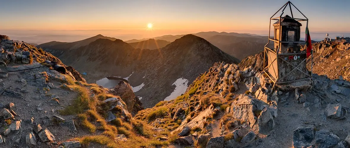
Musala rises to 2,925 m, the highest peak in Bulgaria and in the whole Balkan Peninsula. Its name is said to come from Arabic by way of Ottoman Turkish, meaning "near God" or "place for prayer", and from the late 1940s until 1962 it was renamed Stalin Peak. It is the coldest place in Bulgaria, with temperatures below freezing for about eight months a year.
The Iskar, Maritsa and Mesta rivers all rise near its slopes, and on a clear day the view takes in Vitosha, the Rhodopes and Pirin. The easiest way up starts at Borovets, a mountain resort at the foot of Rila, where a gondola carries you up towards the Yastrebets area, and from there you walk to the summit. Confirm the gondola's summer dates. Weather turns fast on the summit, so start early and carry a warm layer even in July.
Malyovitsa
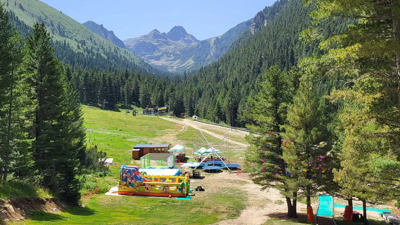
Malyovitsa (2,729 m) is the cradle of Bulgarian alpinism. The first organised expeditions came in 1921–22, from tourists in Samokov, and in 1938 Konstantin Savadzhiev and Georgi Stoimenov climbed the roughly 200-metre north wall, which is considered the start of Bulgarian mountaineering. Its crags still carry names like Zlia Zab and the Devil's Needles, and the hardest routes were made in the 1970s.
Walkers use the Malyovitsa hut (1,700 m), about two hours below the summit, as the base for the peak and for the three Malyovishki Lakes to the north. The road from Sapareva Banya is steep, so plan on a car or taxi and check access. The walls are for climbers; the lakes and ridges are for everyone else.
Skakavitsa Waterfall and Sapareva Banya
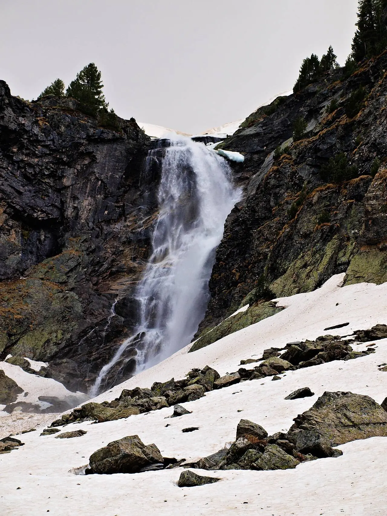
Skakavitsa, at about 70 m, is described as the highest waterfall in Rila, and it is an easy walk of roughly 30–40 minutes from the Skakavitsa hut. According to one account, the hut stands on the site of the first tourist hut in Bulgaria, built in 1921–22. It suits the shoulder months, from late spring to autumn, when the high routes are still snowbound.
The spa town of Sapareva Banya at the foot of the mountain sits at 983 m, about 15 km east of Dupnitsa. A geyser that sprang forth in 1957 pours out mineral water at 103 °C. Thracians and Romans used these springs, and the Roman town of Germania stood here, said to be near the birthplace of the Byzantine general Belisarius.
Beyond the Peaks: Rila Monastery and Melnik
St Ivan of Rila’s Cave and Rila Monastery Trails
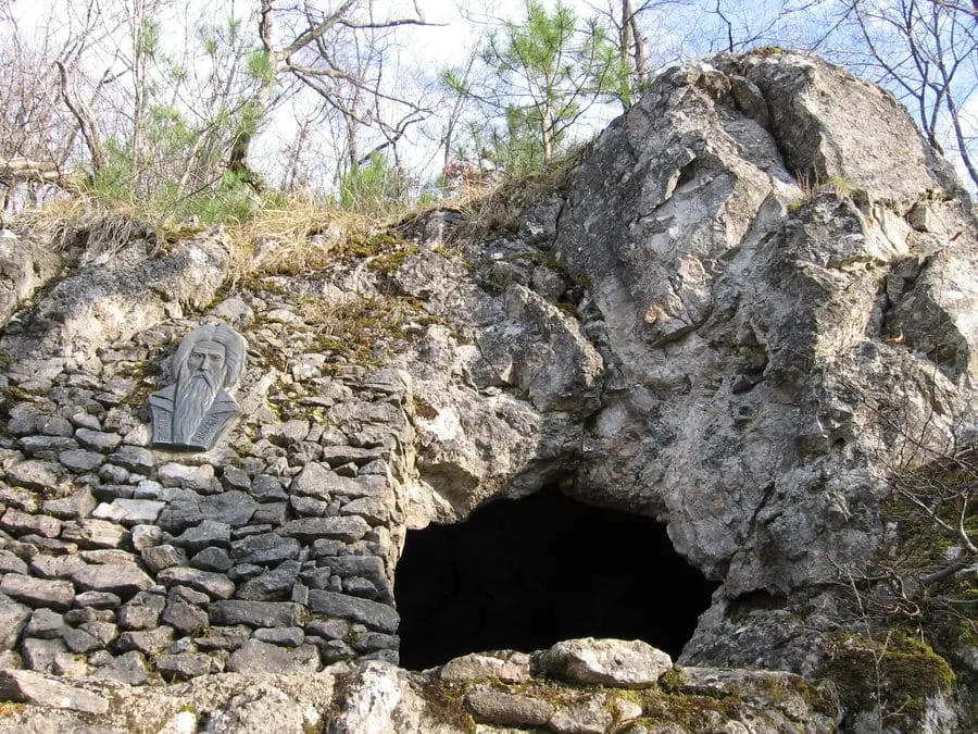
From Rila Monastery, forest paths lead to the cave and hermitage of St Ivan of Rila, the tenth-century hermit around whom the monastery grew. It is a short, quiet walk through mature woods rather than a summit day. Dress modestly, and treat the hermitage as a place of worship. The monastery itself is in the day trips of our Sofia guide.
Melnik Sandstone Pyramids
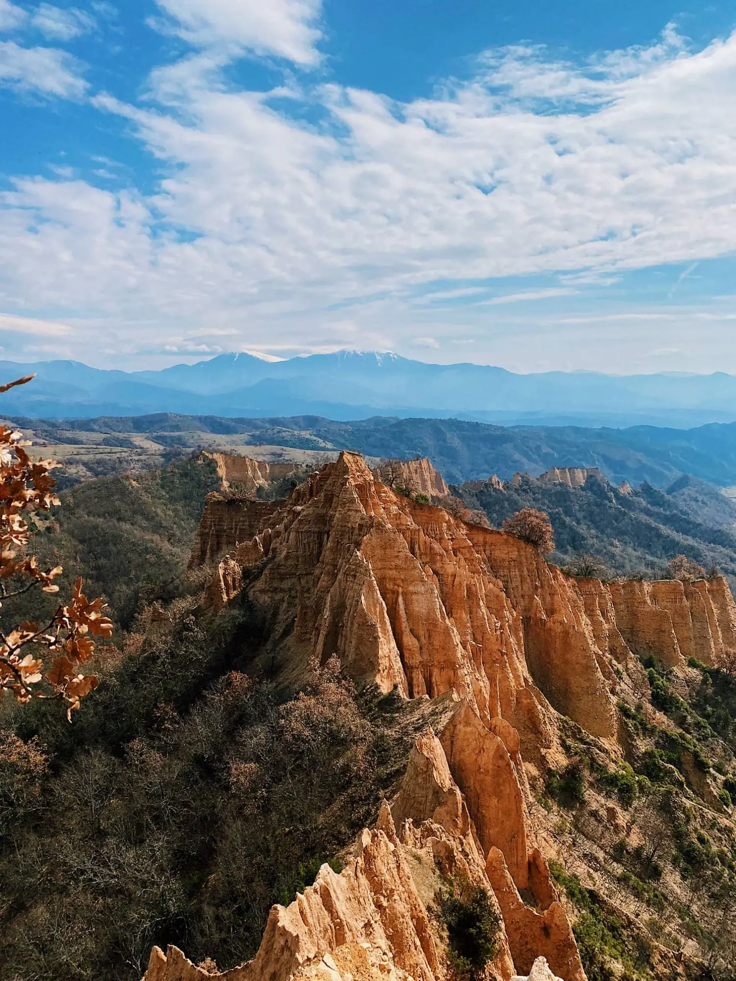
South of Pirin, the little wine town of Melnik sits beneath tall sandstone pyramids that glow in the evening sun. Low-level walks wind through them between cellars and old houses, which makes this the gentlest, most culture-led day in the guide. Spring and autumn are best, and a cellar tasting rounds it off. The town, the cellars and the Kordopulov House are covered in Bulgaria: Beyond the Cities.
Pirin and Rila Compared
The honest pitch for walking in Bulgaria is value, space and character rather than bigger mountains. Pirin and Rila sit about an hour or two apart by road, and each has a distinct feel. Picking the right one for your fitness and your dates matters more than anything else in this guide.
Pirin
The more rugged range: a clear summit goal on rocky ground
Rock
Marble and limestone
Pale, craggy ridges, steep cirques and small lakes
Ridges
Narrow, exposed
Shorter, steeper walks than in Rila
Base
Bansko
Vihren hut, Banderitsa and Bezbog are a short drive away
Rila
Bigger and rounder: smooth, open trails over scrambling
Rock
Granite
Wide cirques and glacial lakes
Ridges
Long, rolling
They roll on for hours
Bases
Several
Borovets, Panichishte, Sapareva Banya, Rila Monastery
Where to sleep: Bansko for Pirin, Borovets for Musala; the villages near the monastery are quieter.
Routes are compared by character, not by distance or grade. Ask the hut or park office for current times.
Effort, from ★ easy to ★★★★ demanding.
| Route and base | Effort | Best months |
|---|---|---|
| Pirin | ||
| VihrenBansko | ★★★★ | Jul–Sep |
| Popovo LakeBansko | ★★★★ | Summer–Oct |
| Bezbog plateauRazlog or Bansko | ★★★★ | Jul–Sep |
| Koncheto ridgeVihren hut | ★★★★ | Jul–Sep |
| Rila | ||
| Seven Rila LakesPanichishte | ★★★★ | Jul–Oct |
| MusalaBorovets | ★★★★ | Jul–Sep |
| MalyovitsaSapareva Banya | ★★★★ | Jul–Sep |
| SkakavitsaSapareva Banya | ★★★★ | Late spring–autumn |
| Monastery forest trailsRila Monastery | ★★★★ | Late spring–autumn |
| South of Pirin | ||
| Melnik pyramidsMelnik | ★★★★ | Spring, autumn |
Seasons, Snow & Weather
The calendar matters more here than in most mountains. Snow can linger on high trails into early summer, on the Vihren ridge, Musala, the Rila lakes cirque and the Bezbog plateau.
Spring
Low routes
Heights still snowbound; try Skakavitsa, Melnik or the monastery forests
Summer
Peak season
July to September; lakes may not thaw until about July
Autumn
Short days
Days shorten fast; first snow can reach the summits by October
Winter
Experience only
High routes are for experienced winter walkers; the ski season is close
For the ski season, see our winter guide.
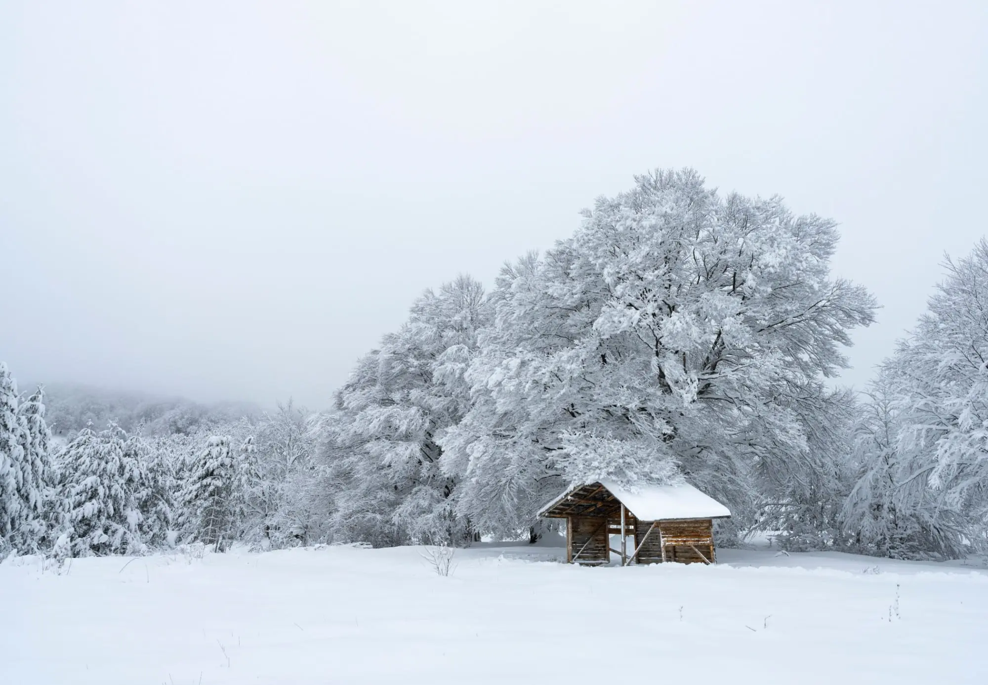
Weather and Thunderstorms
Afternoon thunderstorms are the main summer danger in both ranges, and conditions on Pirin can differ sharply from those on Rila on the same day.
Safety & Rescue
Mountain Rescue Service (Планинска спасителна служба) handles mountain incidents.
Phone coverage is patchy on ridges and in deep valleys, so do not count on a signal.
When you call, give a clear location: the nearest hut, the peak, the trail colour.
Tell someone your route and expected return, and sign the hut book if there is one.
Wildlife and Exposed Sections
Brown bears
Rare encounters
- They live in Rila and Pirin, but rarely meet hikers
- Make noise in thick woods
- Never approach or feed a bear
- Keep food packed away at huts and campsites
Make noise, keep your distance
Sheepdogs
The likelier problem
- Working animals, not strays: they guard high summer pastures
- Stop and stay calm, then give the flock a wide berth
- Do not run, wave a stick or pet them
- Keep your dog on a lead; if bitten, seek care and ask about rabies
Stop, stay calm, walk wide
Ticks and snakes
Spring to autumn
- Long trousers in tall grass and forest
- Check skin and clothing at day’s end and remove any tick promptly
- Ask your doctor about tick-borne illness before you travel
- Vipers sit on sunny rocky slopes in the south: watch your step
Long trousers, boots, daily check
Walking alone and exposed sections
Less margin for error
- Choose well-travelled routes and turn back early
- Tell your hut where you are going
- Koncheto in Pirin is a knife-edge ridge, not for anyone nervous of heights
- If unsure, take a local guide or a lower route
Tell your hut, turn back early
Huts, Trails, Maps & Rules
Mountain Huts (Hizhi)
Huts, called hizhi (singular hizha), are the backbone of walking here, and beds are cheap by Alpine standards.
Beds
Bunk rooms or small rooms, simple meals, shared toilets, basic washing and limited power.
Price
Cheap by Alpine standards; many huts prefer cash.
Booking
Book ahead in July, August and at weekends. Outside the high season, phone first.
Bring
A sleeping-bag liner and earplugs. Keep food away from bears.
Trail Marking and Maps
Trails are marked with coloured paint stripes on rocks and trees, and signposts at junctions give hut names and rough times. Markings can fade, so carry a current paper map and an offline map app for Pirin and Rila, downloaded before you leave town. Treat signposted times as a rough guide and test them against your pace on the first day.
A few words help with signs and maps:
| Bulgarian | Say it | Meaning |
|---|---|---|
| хижа | HEE-zhah | Mountain hut |
| връх | vruhkh | Peak |
| езеро | EH-zeh-roh | Lake |
| Планинска спасителна служба | plah-NEEN-skah spah-SEE-tel-nah SLOOZH-bah | Mountain Rescue Service |
National Park Rules and Camping
Pirin and Rila are national parks with their own rules, so confirm them locally.
Camping is allowed only at marked sites near the mountain huts.
Fishing, collecting minerals and fossils, and driving or parking off the roads without a permit are also banned. The environment ministry reported fines of 500 to 5,000 leva (about €255 to €2,550) for individuals in 2024.
Drones may be limited, and some parks and lifts charge fees, so ask the park authorities before you go.
What to Pack
Clothing
Sun and safety
Navigation
Extras
Getting to the Trailheads
Sofia (SOF) is the main gateway, and from there the mountains are within a day’s travel. Bulgaria’s railways are very old, so rent a car: it is the best way to reach the trailheads here. Buses, taxis and lifts fill the gaps.
| Trailhead | From Sofia | From there to the trail |
|---|---|---|
| Bansko (Vihren hut, Banderitsa) | 2.5 to 3 hours by car or coach | Car or taxi |
| Borovets (Musala) | Bus to Samokov, then a local service | Gondola to Yastrebets; check the dates |
| Panichishte and Sapareva Banya (Seven Lakes, Malyovitsa) | Buses to Dupnitsa and Sapareva Banya | Car or taxi |
| Rila Monastery | No public bus | Taxi from Blagoevgrad, car or a tour |
| Melnik | Buses from Sandanski and Sofia | Easier by car |
By car: arrive early, because car parks fill on summer weekends, and allow extra time on narrow mountain roads.
Most roads need a vignette; see our country guide. Never leave valuables in a parked car.
History & Culture on the Trail
Walking in Pirin and Rila is more than scenery. These mountains hold hermit caves, a revolutionary’s hometown, a spiritual movement and some of the best-preserved towns of the Bulgarian Revival.
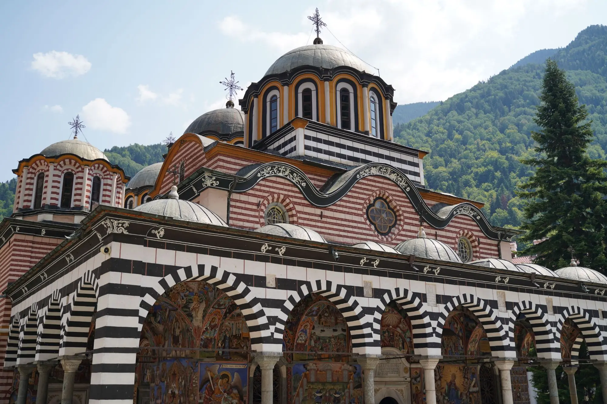
Rila Monastery and St Ivan of Rila
St Ivan of Rila is the hermit around whom Bulgaria’s most celebrated monastery grew. He lived in the forests and caves of these mountains around the tenth century and is revered as a spiritual protector of the Bulgarian people. The monastery you see today was largely rebuilt in the nineteenth century. The oldest surviving part is Hrelyo’s Tower from the fourteenth century, and the whole complex is a UNESCO World Heritage Site. The walk to the hermit’s cave is the most direct way to feel the story. For opening times and ticket prices, see our country guide; for a day trip from the capital, see our Sofia guide.
Bansko and the Revival
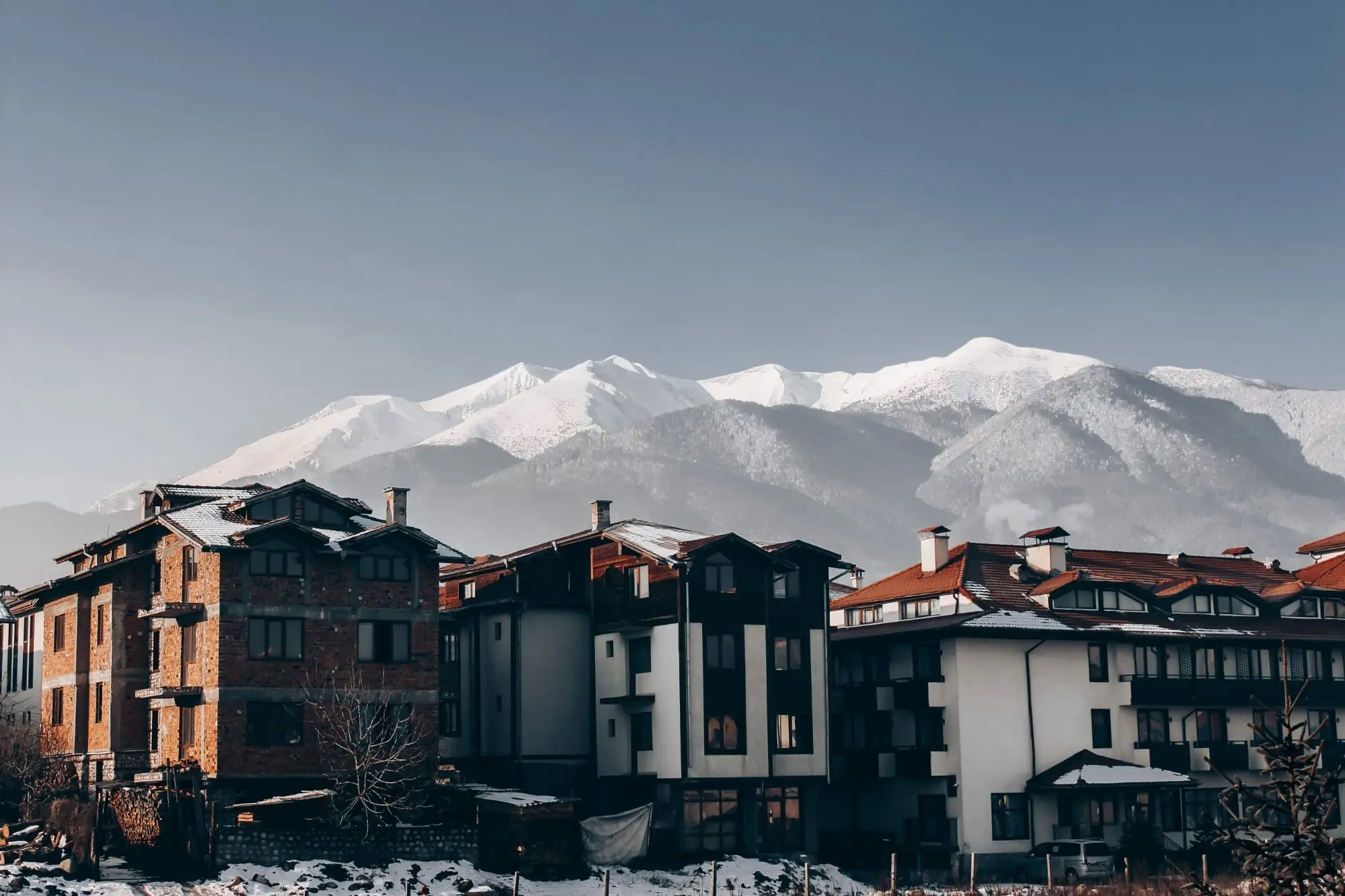
Bansko, at the foot of Pirin, is the hometown of Neofit Rilski (born here in 1793), a monk and teacher who championed Bulgarian-language schooling. It is also the birthplace of the poet Nikola Vaptsarov (born 1909). Their house-museums and the old town’s walled lanes make an ideal rest-day walk after Vihren. Our winter guide covers the old town and the Revival story in more depth.
See it with a local guide
Not sure about a route? Browse guided tours and day trips around Pirin and Rila on our experiences page.
Browse experiencesFood, Huts & Mehana
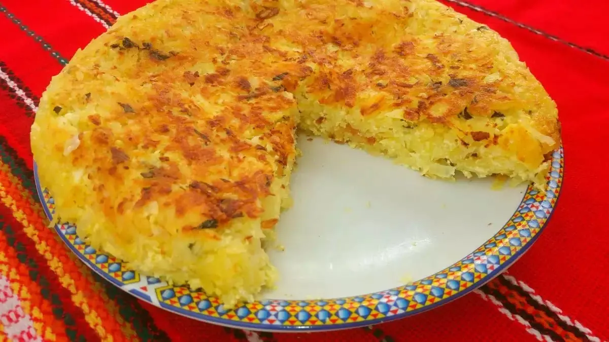
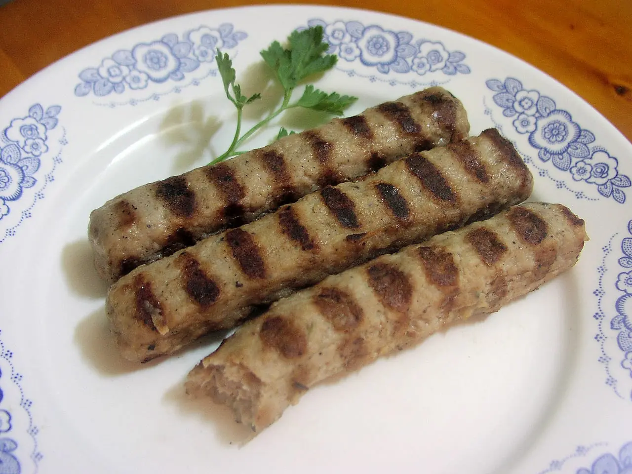
Everything in the food section of our country guide earns its keep after a long day on the trail. Here are six things to look for at a hut or a mountain mehana.

Shopska salad
Chopped tomato, cucumber and peppers under a snow of grated sirene. A simple, cold starter that nearly every hut and mehana will serve, and a welcome sharp taste after a hot climb.
Source: Wandercooks
Bob chorba
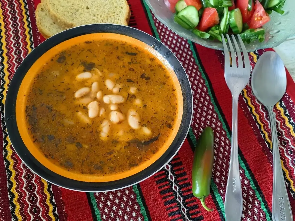
Bean soup, thick and smoky, usually served with bread and a sprinkle of dried red pepper. It is the standard hut supper and a good way to refuel after a long day.
Source: Gotvach.bg


Mountain Tea and Rakia
Order mursalski chai, the Pirin mountain tea mentioned in our country guide, for a hot drink at any hut. Rakia, the local fruit brandy, is served generously and is strong, so keep it for after the walking. Huts rarely serve hot food all day, so carry nuts, chocolate and dried fruit for lunch, and buy supplies in town before you set off.
Seasons Calendar
Four phases shape the hiking year. High routes open late and close early, so check the snow before you commit to dates.
Late May – June
Late spring
Low routes only. The heights are still snowbound: stay in the valleys and around Melnik.
July – August
Summer
Trails open, huts full. Afternoon storms are common, so start early.
September – October
Early autumn
Clear air, fewer people. Days are shorter and some huts close: carry a headlamp.
From mid-October
Late autumn
The summits turn wintry. The first snow can fall, so stay low.
For skiing, see our winter guide.
Additional Resources
- Visit Bulgaria: the national tourism portal for regions, events and outdoor activities.
- bgtoll.bg: the official place to buy the road vignette.
- Where to stay: Bansko, Borovets and Sofia.
- More reading: best hiking destinations worldwide.
More in this series: Bulgaria overview, Sofia, Plovdiv, Bulgaria: Beyond the Cities and winter, plus our posts on the beach resorts and the spa towns. All details here are approximate, so check official sources before you go.
That is the thing about these mountains: the peaks are only part of it. Climb in the morning, eat bean soup in a stone-walled hut at midday, and finish the day with a glass of local wine in a village that was old before the mountains had a path. Check the snow, book the hut, start early, and leave room for a rest day.
Лек път! (lek PUHT) — Have a safe journey!